Walks around Bluntisham can vary from a quiet amble around the village streets and Meeting Walk said to date from the funeral custom of taking a coffin to the graveyard down special paths, avoiding, as far as possible inhabited or frequented parts of the village on which a passing corpse could bring bad luck.
With the villages of Bluntisham and Colne being very close, it is easy to walk from one to the other past orchards and fields.
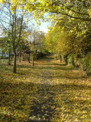
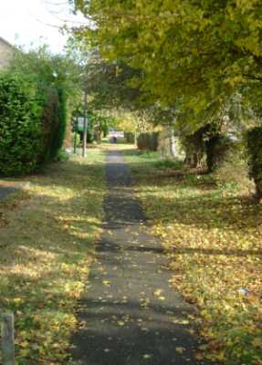
For those less able or with less time, there is a wonderful network of paths in Bluntisham linking the main parts of the village and these provide an easy way to get about and avoid the traffic.
Other walks include wonderful bird watching opportunities, and from the top of Mill Lane, Nobles Lane and the river flood banks, views unique to the area. large expanses of sky, open landscape and the far horizons associated with fenland.
In spring, the plum blossom throws a veil around the village. Alas modern plum farming does not attract the money it used to so we seem to lose an orchard each year.
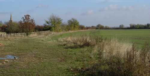
Part of the Ouse Valley Walk runs to the south of the village where boats can be seen navigating the lock and very pleasant walks can be had along the banks.
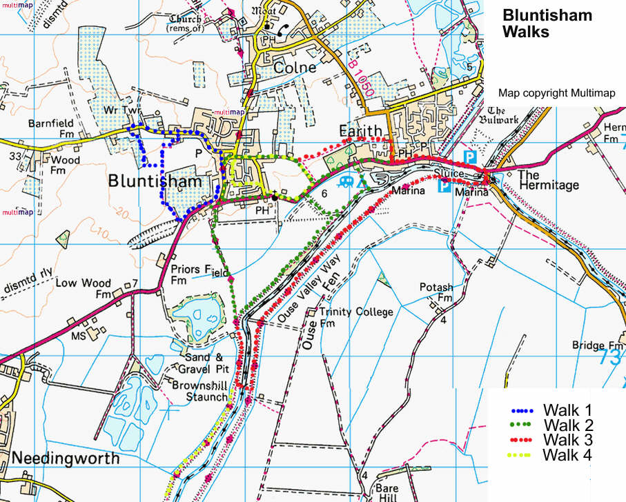
Some noted walks in and around Bluntisham
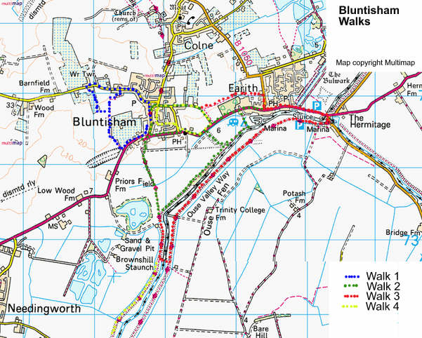
Or download a larger version of the map here
Walk 1 (3/4 - 1 hour)
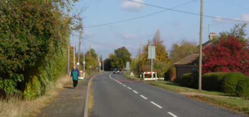
Turn right on leaving, the Chapel grounds. Take the left fork past the White Swan and Post Office (Note the interesting barograph in the centre of the road junction). Turn left at the road junction at Wood End. Left again down Nobles Lane (signposted), (for a slightly longer walk, continue up Wood End for another 200 yards or so to the new Meridian Wood and. walk through and link up with the track from Nobles Lane.), follow the lane (clearly defined.) and at the end of the track continue on edge of the field, bearing fight and then left following hedgeside path, Bear left on the drove round to the main road by the old railway bridge. Turn left onto the road but beware of traffic. Opposite the row of cottages you can link into Walks 2 & 3, or continue to the High Street junction. (Just beyond the Junction, note Bluntisham House once the Rectory and home of Dorothy Sayers, whose father was rector here ( 1897 - 1918). Turn left into the High Street back to the Chapel.
Walks (2) & (3) (1 - 1 1/2 hours, and 2 - 2 1/2 hours respectively)
Turn left on leaving Chapel grounds. Right onto Station Road, past the bus stop and stables and turn left down the lane (signposted Ouse Valley Way). Follow the defined track and path down to the river.
Walk (2)
Turn left at the river and walk along the flood bank a bird watchers' delight) Where the bank opens out into a clearing, for a shorter walk, turn left here and follow the drove up to the main road, either turning left and following the road back- to the village, or turn right and look for a barrier in the hedge on the left and follow the footpath (Walk No.4) up to the top of Mill Lane. For those continuing, Walk No. 2, cross the open level space and over the stile, across the water meadow to fence, turn left into Earith High Street and left back on the road to Bluntisham or turn right and then left into Colne Road and link into Walk No. 3
Walk (3).
At the river bank turn right to Brownshill Staunch (First built 1830) (Note the Hanson gravel conveyor built 1997). Cross the river here and turn left and follow the river back to Earith along the top of the bank, At Earith lock, join road and turn left to Earith. Either continue along the High Street to Colne Road or for a quieter route, take the first right and then first left (Chapel Lane) to
end. Turn right (Colne Road), past the village pond and bus stop, turn left into Lane at the end go through the kissing gate and follow the path behind Minaars, then follow the clearly defined path to Bluntisham, passing under the barrier into Mill Lane. Follow the lane to East Street and bearing left back to Chapel Hall, or opposite Colne Road., take the footpath (Meeting Walk) to the back of the Chapel grounds.
Walk (4) (1/2 - 1 hour stroll)
Leave Chapel grounds by side gate into Meeting Walk Turn left (for a short village amble keep turning left keeping to Meeting Walk and village streets and hack to Chapel) Otherwise keep straight on to Hollidays Road, turn right then left onto Rect ory Road past the St Mary’s church on the right and the Police House on the left towards Earith. Look for the barrier in the hedge on your left that marks the entrance to the footpath leading back up to Mill Lane. Turn left and back to the Chapel as for Walk (3).
An alternative to Walk (3), At Brownshill Staunch carry on along the river bank, instead of crossing, and you will come to the Pike and Eel pub. The length of time for this walk depends on the time spent in the Pub! Return by the same route It may take a little longer!